Observations from space show that the rate of sea level rise is increasing. Knowing where and how much rise is happening can help coastal planners prepare for future hazards.
The average global sea level rose by 0.11 inches (0.27 centimeters) from 2021 to 2022, according to a NASA analysis of satellite data. That’s the equivalent of adding water from a million Olympic-size swimming pools to the ocean every day for a year, and is part of a multidecade trend of rising seas.
Since satellites began observing sea surface height in 1993 with the U.S.-French TOPEX/Poseidon mission, the average global sea level has increased by 3.6 inches (9.1 centimeters), according to NASA’s Sea Level Change science team. The annual rate of rise – or how quickly sea level rise is happening – that researchers expect to see has also increased from 0.08 inches (0.20 centimeters) per year in 1993 to 0.17 inches (0.44 centimeters) per year in 2022. Based on the long-term satellite measurements, the projected rate of sea level rise will hit 0.26 inches (0.66 centimeters) per year by 2050.
Read more at NASA
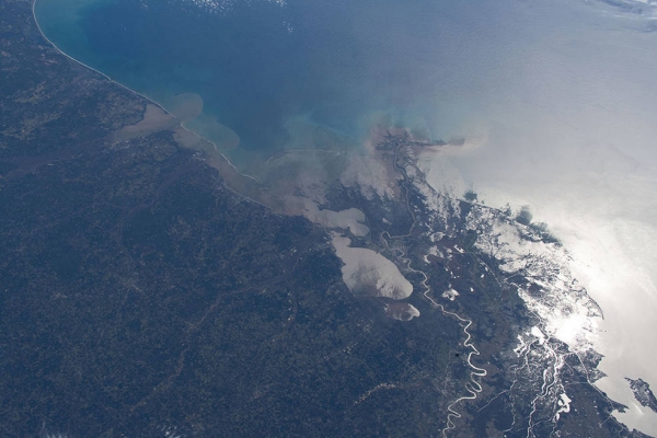
atellite data from 30 years of observations is helping researchers tease apart natural and human-caused drivers of sea level rise. The information will help planners in regions like New Orleans, Louisiana, along the U.S. Gulf Coast to prepare for the future. (Credits: NASA)
.jpg)


Share Your Comments
Only members can comment, Click here to sign up for free right now